
Unfortunately, the maps generated on this website cannot replicate exactly the same detail that I have recorded on my desktop QGIS maps. The technology is not yet able to fully carry out that transformation. However, I think this is still good enough to communicate some of the major aspects.
ESA/Acheulean/MSA/LSA sites across Arabian Peninsula and Nile Valley. I'm attempting to categorise all major hominin sites across Africa in order to help shed light on the possible migration routes 'Out Of Africa'. Ongoing work but the majority of sites have been classified in the Arabia/Yemen/Oman areas and the Nile valley. | |
Hominin Sites. 486 sites across Africa with either hominin fossils or tools. | |
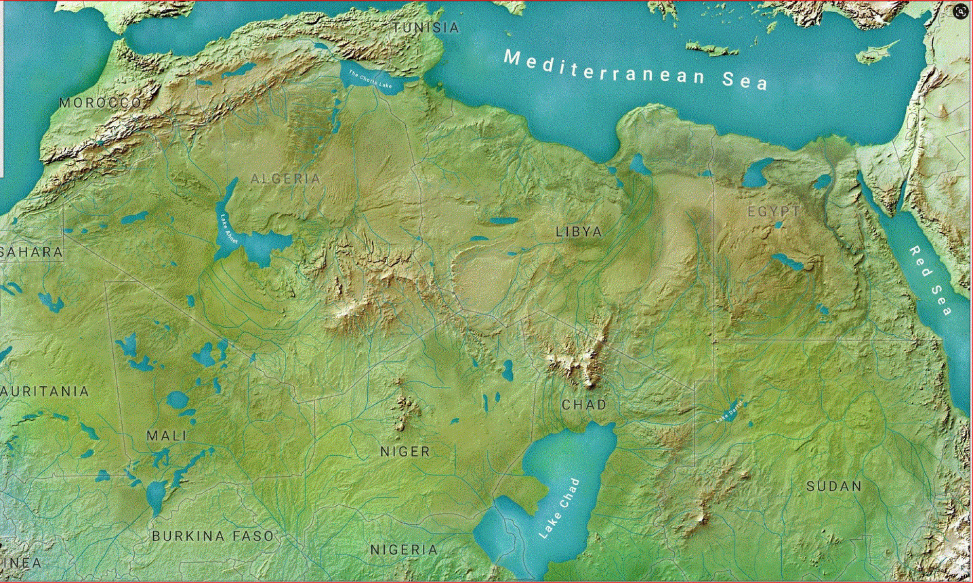
Homo erectus and North Africa. Migration of Homo erectus out of Africa is of major importance; especially the route(s) taken. No real sign of Homo erectus in North Africa? | |
Afar Topography. Showing the Awash River from the plateau doen to the depression. Shows masl of many hominin sites. | |
Least Cost Path through the Main Ethiopian Rift. A suitable indicator of hominin migration from Afar to Turkana. | |
African Coastline During Last Ice Age. During the last ice age (above) sea level was at least 394 feet (120 m) lower than it is today (below), exposing much more area on the continents | |
Omo to Olduvai. Shows that the 'simplest' route with least terrain difficulties is NOT via the Rift Valley. | |